Table below is a list of the parameters:
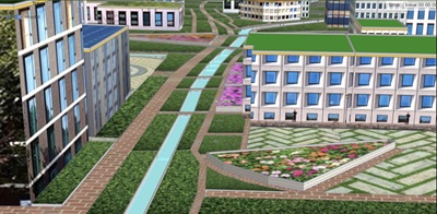
Stormnet Models can be viewed in 3D CAD. The Visualization tab is used to input parameters for Visualizing the Subcatchment in 3D CAD
Table below is a list of the parameters:
| Field | Description |
| Height | Height of the subcatchment in (ft or meter) |
| Centroid X: | Centroid's x coordinate |
| Centroid Y: | Centroid's y coordinate |
| Elevation | Elevation of the subcatchment's Centroid(ft or m). |
| Top Image: | Image for the Top of the subcatchment |
| Side Image: | Image for the side of the subcatchment |
Note: The centroid's coordinates and elevation are calculated by Stormnet during the Add DEM process (go to menu item Simulate --> Add DEM)