The MAGNET global
modeling platform is built directly on Google or Microsoft Bing Map web applications.
Either may be used to develop MAGNET models. (Note that the Tutorials and User Manual are
developed for Google Maps based MAGNET.
)
Click the images below to go to the various MAGNET modeling platforms.
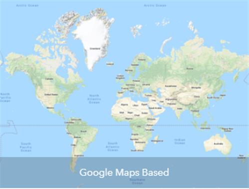
- Google Maps based MAGNET provides terrain maps used as default, which is nice for groundwater modeling because topography exerts significant control on regional flow. However, this is currently not available for use in some countries.
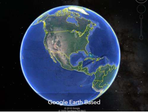
- Google Earth Based MAGNET allows displaying model results using high impact 3D perspective views. Models can be created with either the Google Maps or Bing Maps based MAGNET, but access to Google Maps is required.
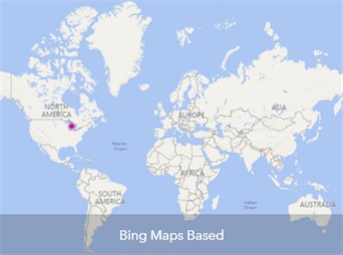
- Bing Maps based MAGNET is available in all countries, but does not provide terrain view.
Click the images below to go to the various MAGNET modeling platforms.
|
|
|
IGW2D Download: 1024