The bottom elevation can be represented in several different ways. The default treatment is the simplest: a constant elevation for the entire aquifer bottom surface. This is calculated as a prescribed value below the minimum DEM elevation within the model domain. The result is a surface that is lower than the lowest elevation that will be actively involved in the model (i.e. the lowest elevation of the DEM). The bottom elevation can also be calculated by prescribing a constant aquifer thickness, by following the variable land surface, by the user specifying a spatially-variable thickness/elevations that are available from the MAGNET Data Server, or by importing their own raster file. The models presented in this document apply the default treatment: that is the bottom elevation is constant and calculated from the minimum DEM minus 60.96m (200ft).
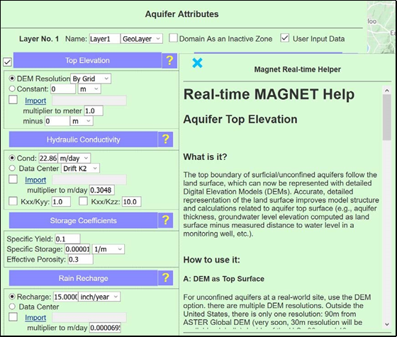
Figure 14: Help page that appears when you click the ‘?’ associated with the aquifer Top Elevation input.